
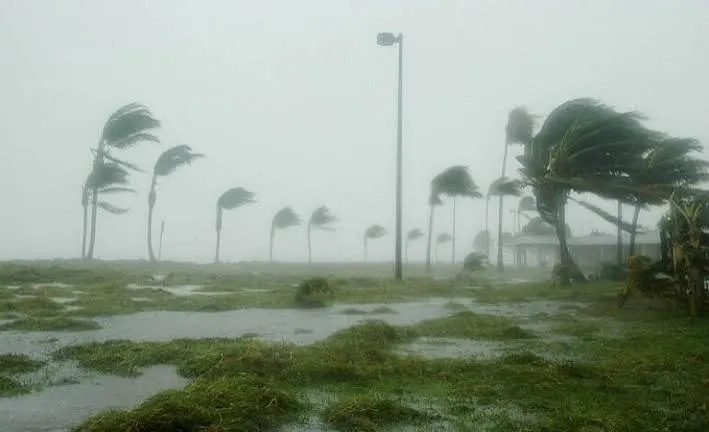
Amaravati, November 3, 2026: Andhra Pradesh remains on alert as Severe Cyclonic Storm Murasu approaches its southern coastline. The India Meteorological Department’s bulletin issued at 11:03 PM IST on November 2 forecast the storm’s coastal crossing between Nellore and Narsapur, close to Ongole, between 11:30 PM on November 2 and 4 AM on November 3. Sustained winds were forecast at 100–110 kmph, with gusts reaching 120 kmph.
Where was Cyclone Murasu located?
According to the bulletin, the cyclone was centred over the west-central Bay of Bengal at 8:30 PM on November 2. It was approximately 60 kilometres east of Kavali, 80 kilometres northeast of Nellore and 90 kilometres southeast of Ongole.
The system had moved north-northwestwards at 12 kmph during the preceding six hours. These observations describe its position at that specific time; they do not confirm its subsequent landfall location or completion.
Heavy rain and dangerous sea conditions
The IMD’s marine forecast warned of widespread rain and thunderstorms, with heavy rainfall in parts of the west-central Bay of Bengal. Visibility could deteriorate significantly during intense rain, while very high seas were forecast in the area affected by the storm.
The cyclone’s effects have also extended to northern Tamil Nadu. Heavy rain affected Chennai and nearby districts on November 2, while weather-related disruption prompted flight cancellations. Travellers should check directly with their airlines before leaving for airports, as schedules may change with local conditions.
Transport disruption and emergency preparations
At least 19 domestic flights were cancelled across Vijayawada, Tirupati and Visakhapatnam airports on November 2, according to reports. Authorities also stepped up preparations, with disaster response personnel and electricity restoration teams mobilised to support Andhra Pradesh.
Tamil Nadu sent three National Disaster Response Force teams comprising 90 personnel, along with electricity department teams and equipment. Andhra Pradesh officials were directed to remain alert to rainfall affecting the southern coastal region and Rayalaseema.
Residents should follow current official updates
People in affected districts should monitor IMD forecasts and instructions from district administrations. Keep mobile phones charged, avoid flooded roads and stay away from beaches during dangerous weather. If local authorities issue evacuation instructions, follow the designated routes and shelter arrangements.
The forecast crossing window should not be treated as confirmation that the cyclone has already made landfall. Further official bulletins are needed to establish its actual crossing time, location and strength.